 |
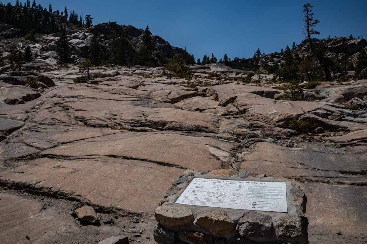
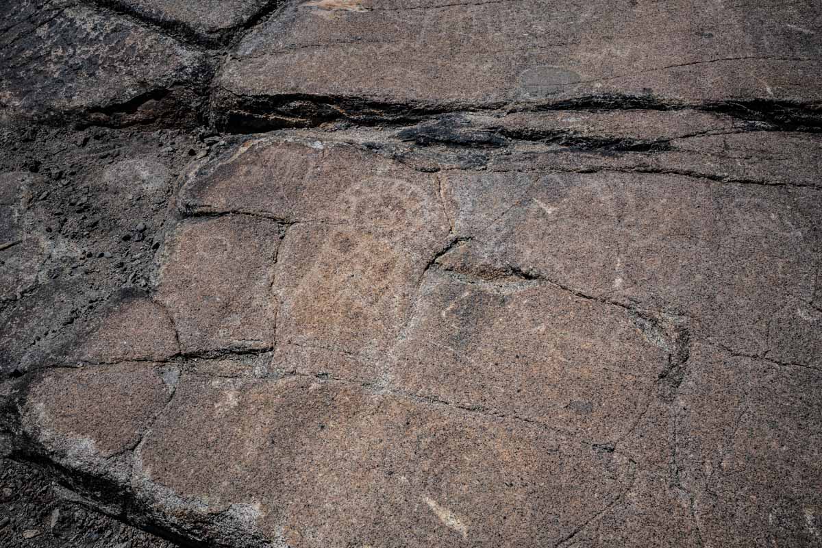
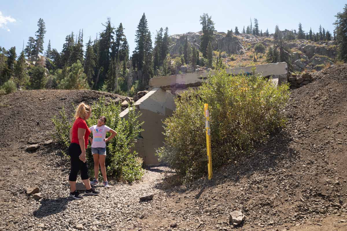
| Petroglyphs are visible beyond this marker at Donner Summit |
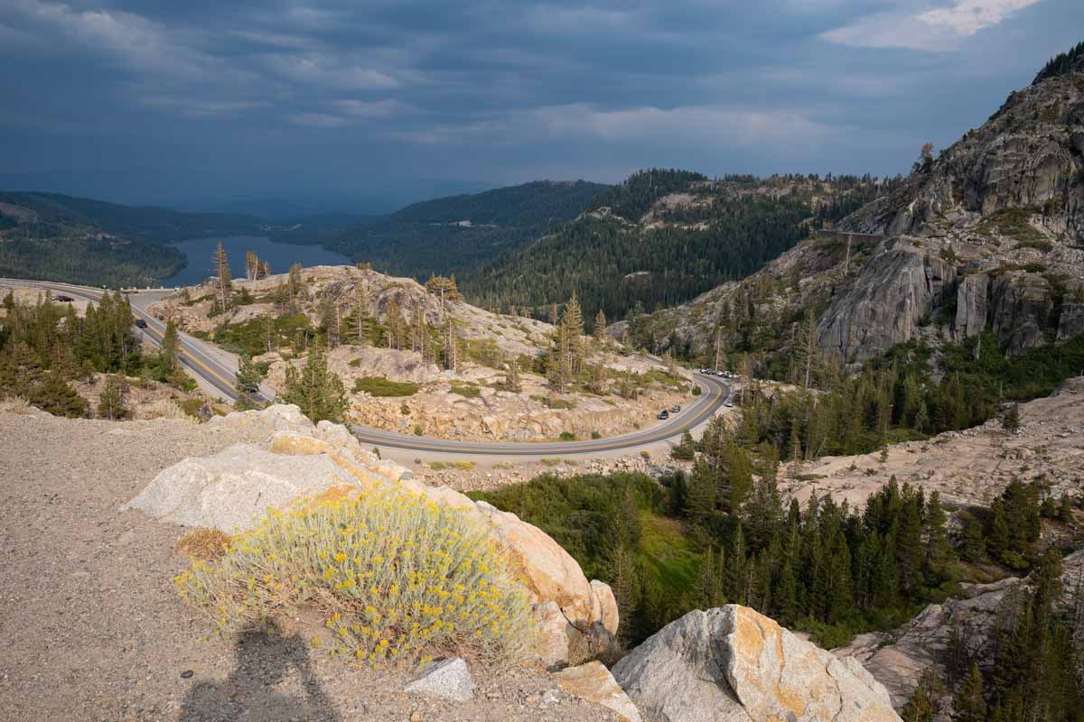 |
| Donner Lake seen from the pass. The Central Pacific (now UP) rail line clings to the slope on the right |
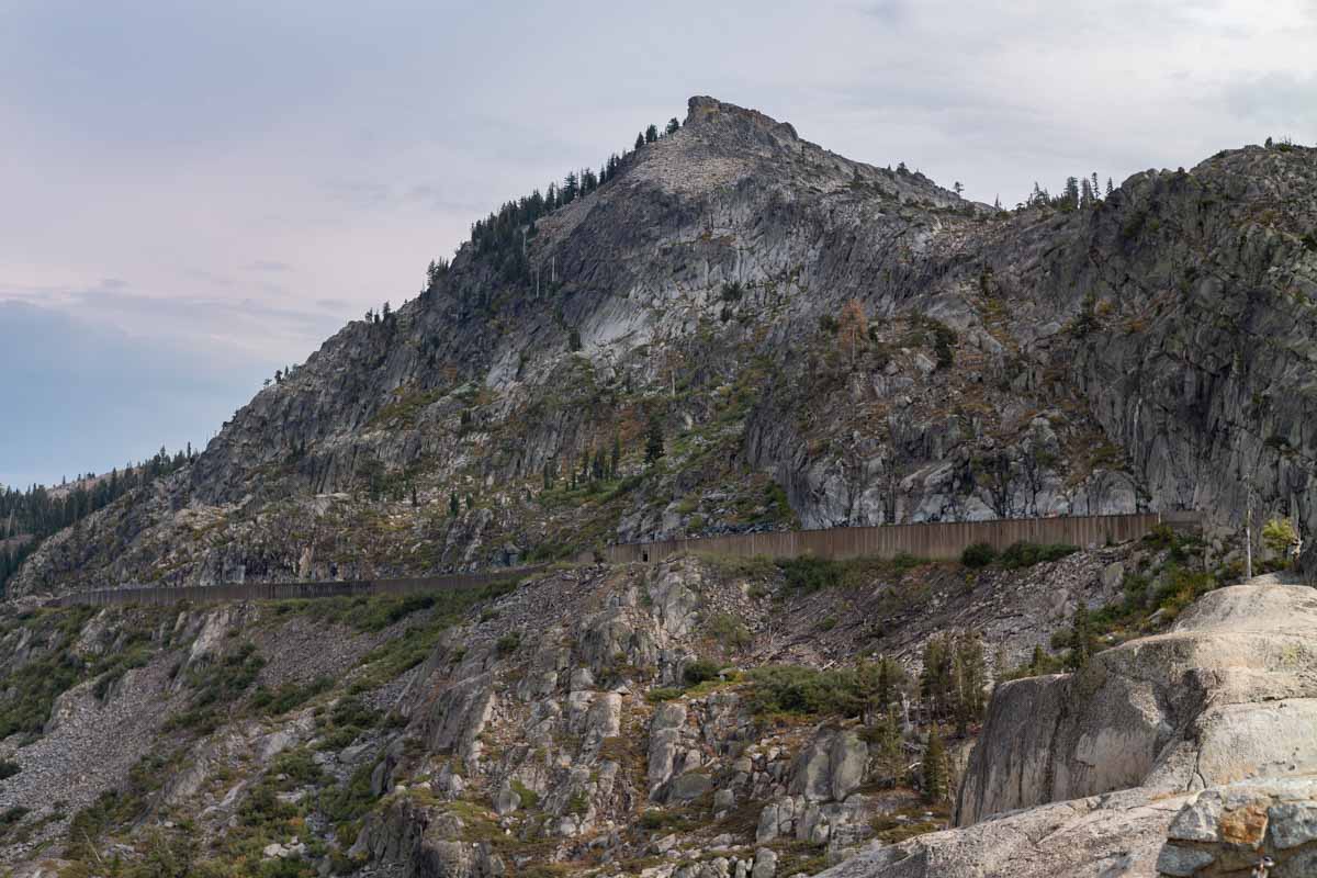
When talk of a transcontinental rail link materialized, the route was surveyed through Donner Pass. Trains need a constant gentle slope, without up and down, so the route they chose was a bit south of the footpath and wagon road. The two paths do remain in sight of each other across the pass. The trail goes up and down over terrain to follow the most direct route. The rail line is cut at a constant angle into the sides of the mountains, clinging to them like a pasted-on stripe.
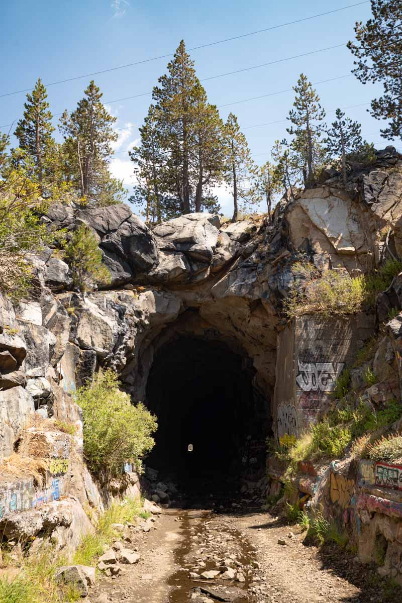
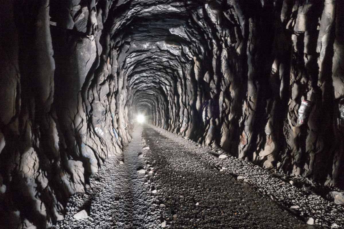
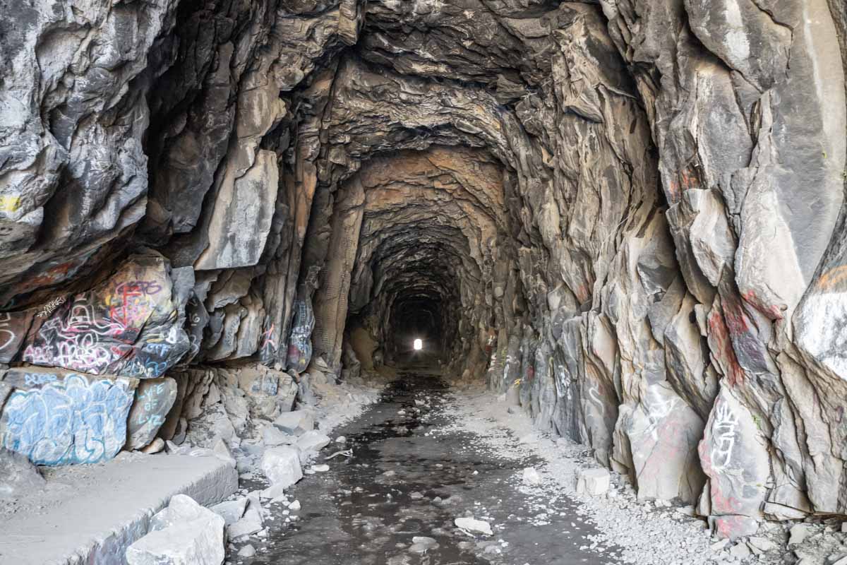
The shorter tunnels are not as cold, but there is still an eerie feeling inside them. It's easy to imagine the ghosts of the Chinese laborers, and the many railroaders who lost their lives on this pass.
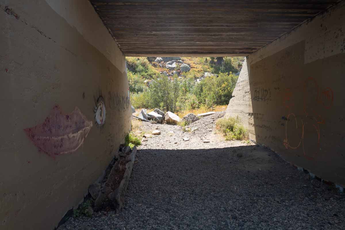
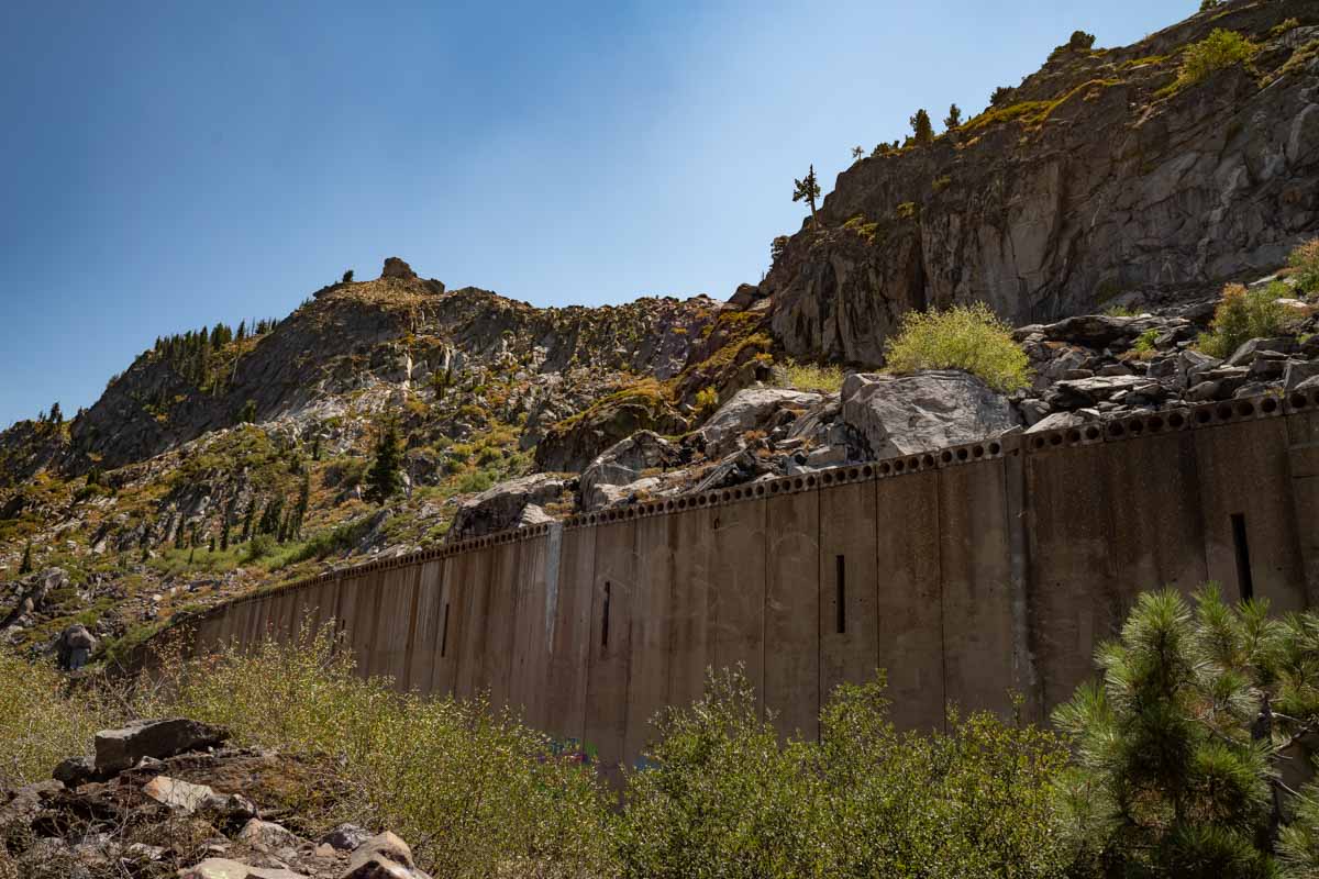
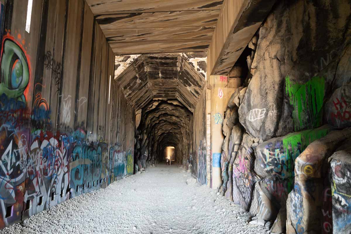
The image above shows a snow shed from outside. The image below is the same shed, inside. Light streams in through the slits in the walls, which are enough to give weak illumination without filling the shed with snow.
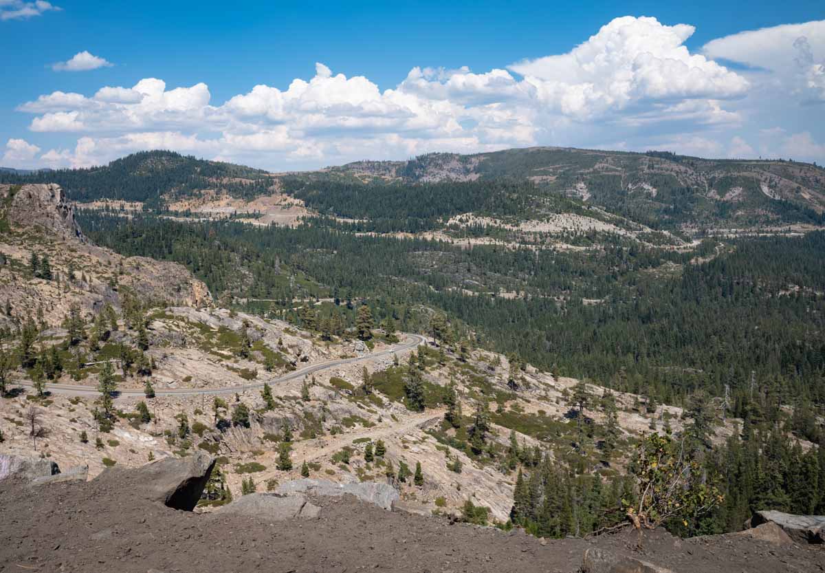
Outside the concrete is a few feet of flat ground and then a drop of one thousand feet or more into the valley. The rail line climbs to 7,100 feet at the top of the pass. The edge is visible in the photo below:
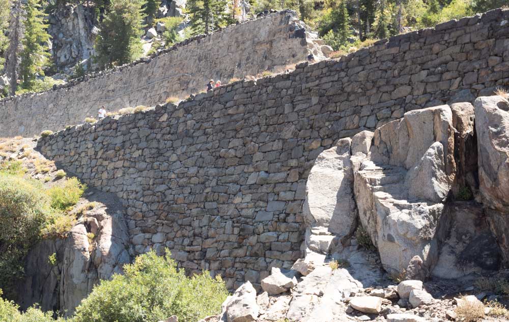
Another interesting feature is the Chinese wall, so named for the laborers who built it, with stone alone. This structure carries the rail line across a dip in the contours. There is no mortar in the main embankment, which carried increasingly heavy train traffic for 100+ years. There is post-construction mortar in the upper retaining wall; both are impressive examples of stonework. They are built from granite cut for the tunnel bores.
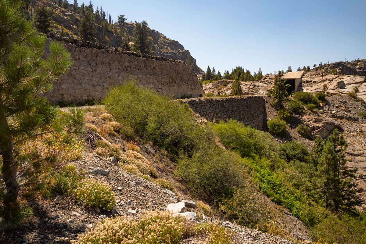
This retaining wall held back winter avalanches and supported massive freight trains for 130 years, just as the original Chinese stone masons built it.
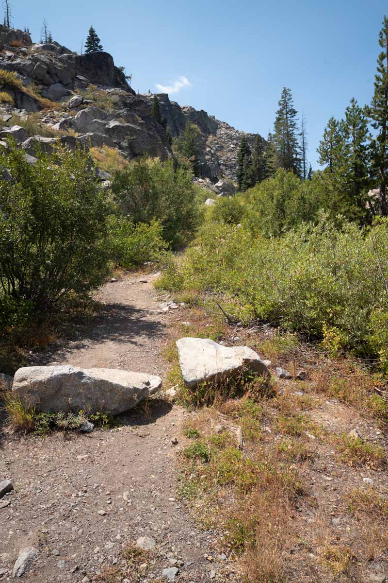
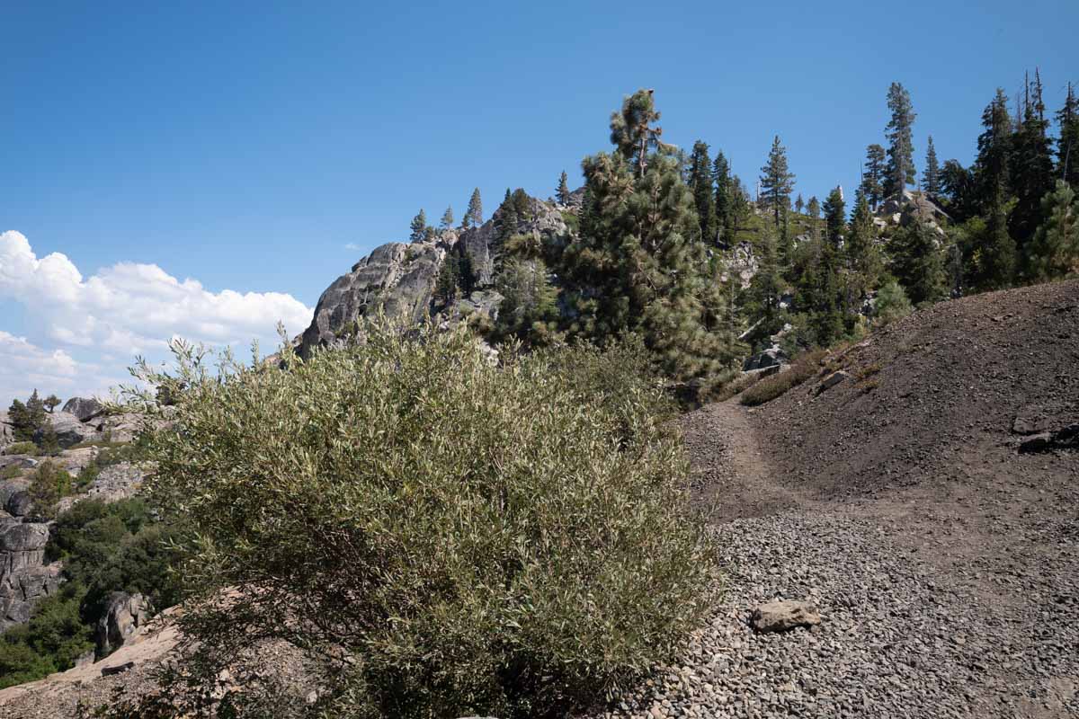
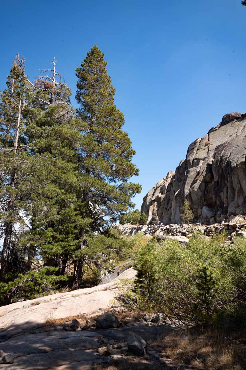
This is the hiking trail down from the Chinese wall. This is probably not much different from the path the Indians and original emigrants trod:


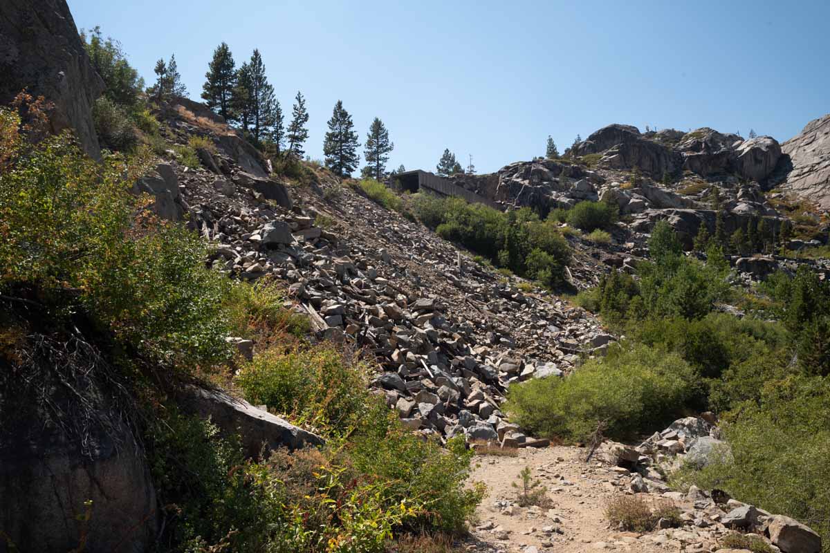
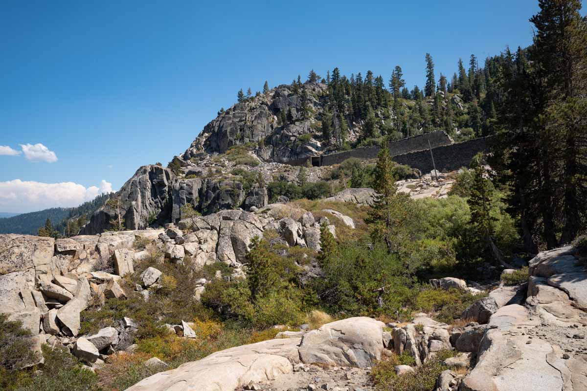
Here is another filled embankment. You can see a snow shed entrance at the upper right. The slope is all fill, carrying the railroad over the low spot. Huge amounts of fill were required in areas like this to prevent being washed out in floods or avalanches.
In this next two images you can see a smaller rock wall. This is a built up section of the construction service road, which later became the Lincoln Highway for early motorcars.
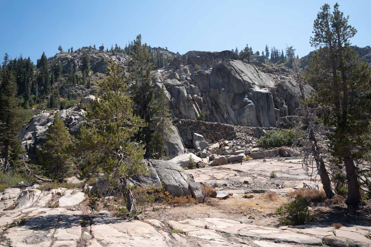
This view looks up at the Chinese walls. The trees give a sense of scale
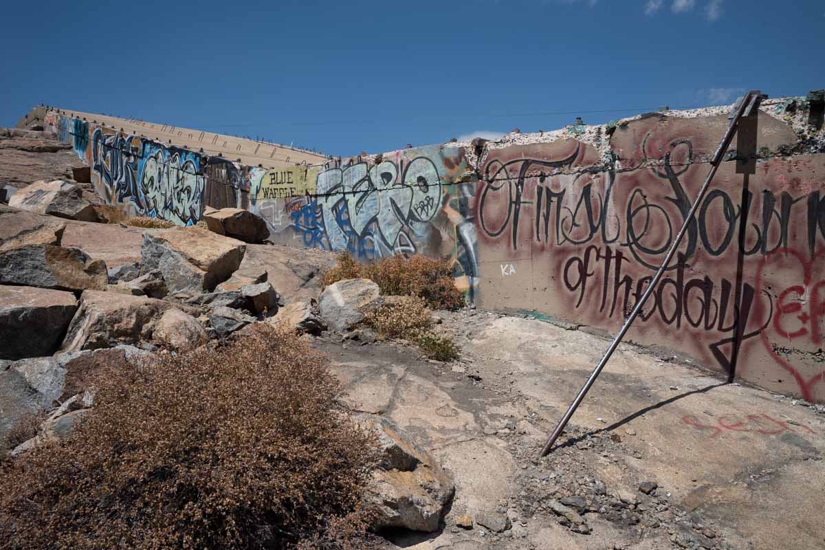
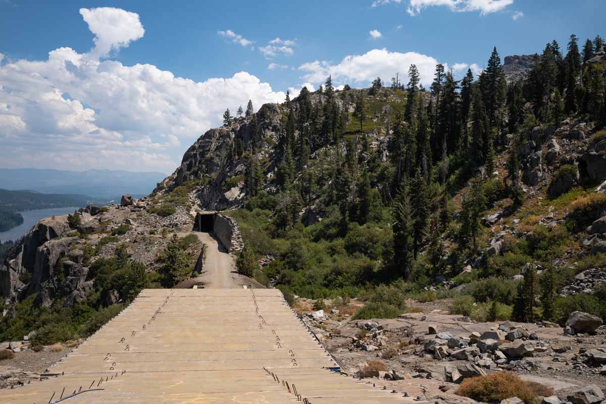
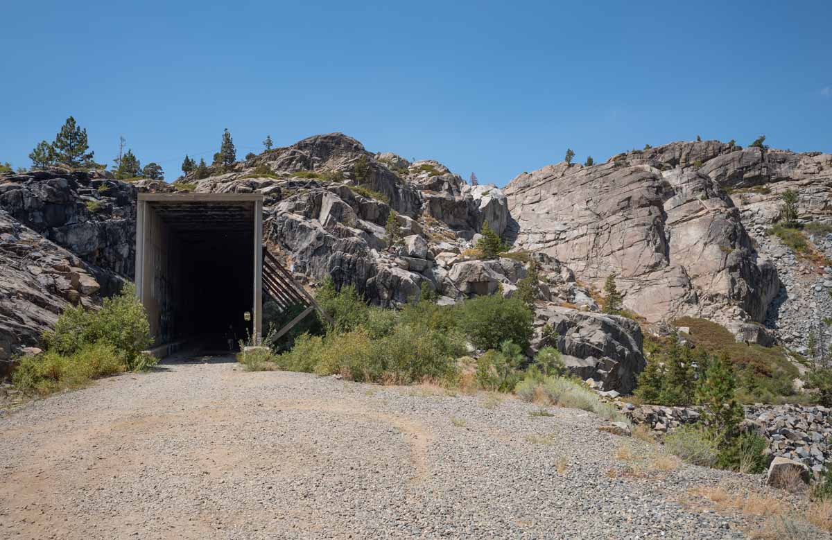
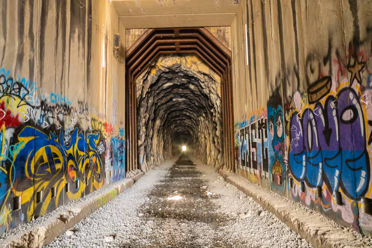
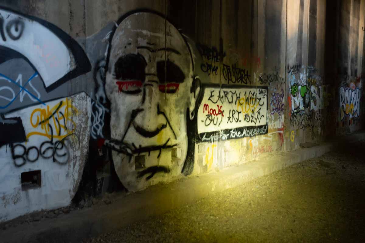
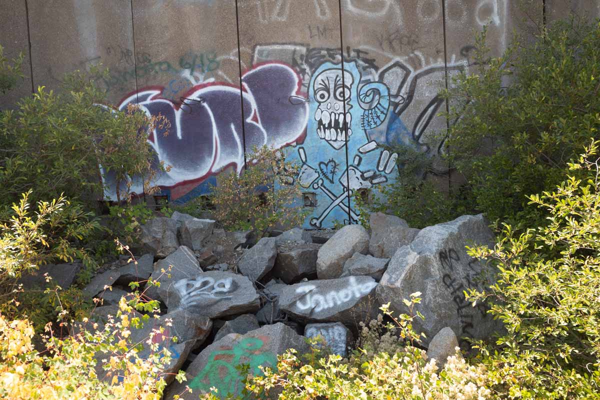
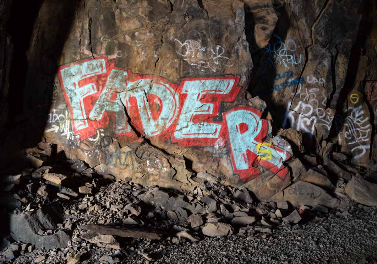
The tunnels are filled with graffiti:
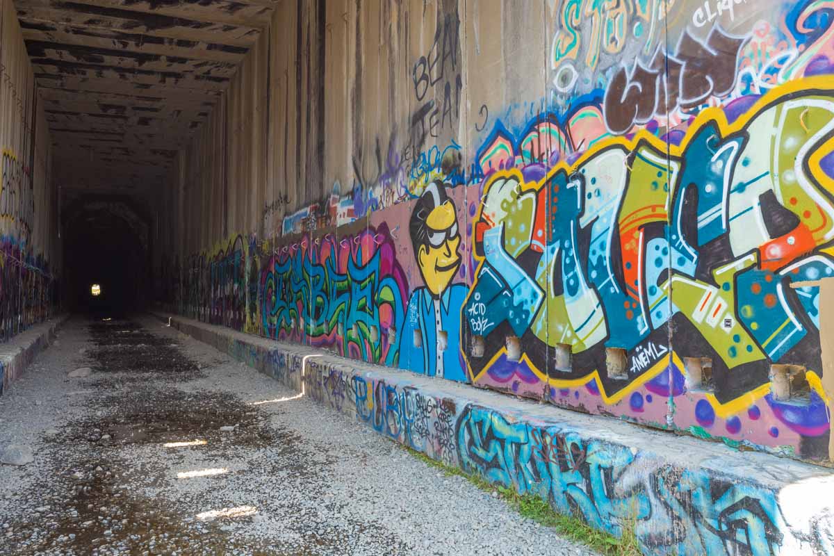
This image shows how massive the tunnel construction has to be, to survive the onslaught of winter snow and slides:
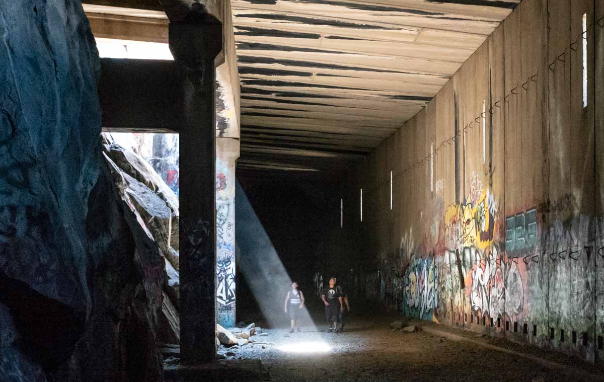
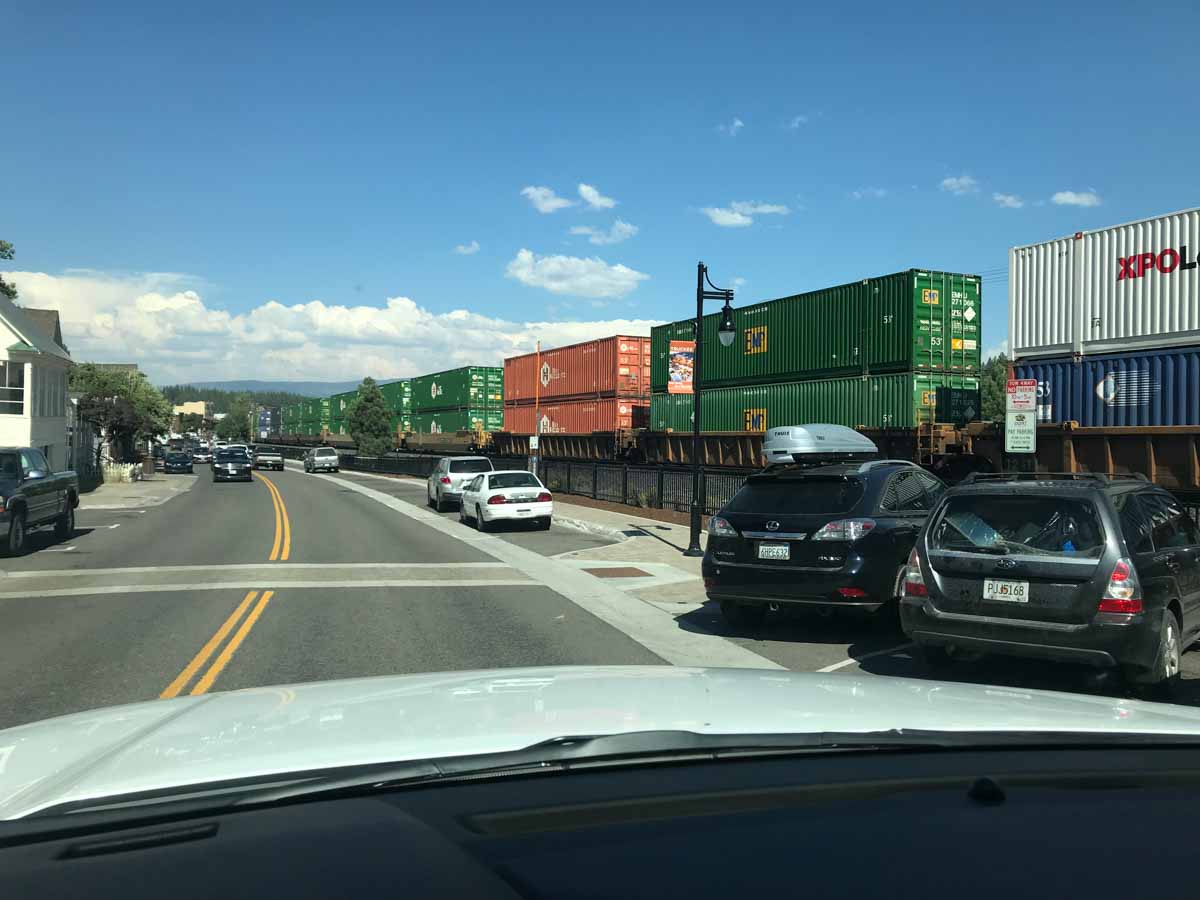
A shaft of sunlight streams in through an opening in the wall. The people in the image give a sense of scale. Look at the size of the concrete columns that reinforce the roof. That is necessary in areas that may be hit with avalanches. Why the height, you ask? In olden days the tunnels needed to be tall to hold and diffuse the steam locomotive smoke. Today they need height to accommodate double stack containers, such as these cars headed west through Truckee:
If you want to see this for yourself take the Donner Pass Road west from Truckee. There are exits for the road on I-80. Climb to the overlook bridge parking area and walk across the road and downhill a few hundred yards to the trail up to the petroglyphs. From there the trail goes up to the Chinese walls between two of the tunnels. Tunnel six will be on your right, to the west.
The images in this essay were taken with a Leica M10 camera and a Leica 28 2.8 lens. All images were shot hand held at shutter speeds ranging from 1/500 to 1/2 second. The rangefinder system has an advantage focusing in the dark, compared to more automated cameras where focus would tend to hunt or be wrong. The M10 finally gives Leica a body whose sensor really performs to the level set by cameras like the Nikon D5 SLR. Leica lenses have always been superlative, and their manual nature forces the photographer to think more before each shot.
I certainly could have taken these shots with a D5, but doing so would have required a tripod and it would have been a much bigger production to get it up there. Smaller point and shoot camera could not have delivered the results of the M10 in the tunnels, though they would have been competitive outside. Photographers always have to trade quality against size and portability.
When photographing landscapes like these I like the slow reflective nature of the Leica camera, combined with the top-shelf image quality.
(c) 2018 John Elder Robison